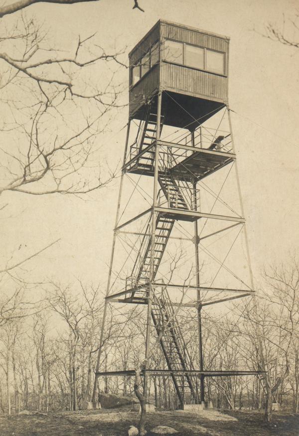
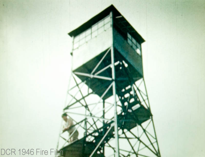
| As early as the late 1800s,
elevated observation posts, commonly referred to as Fire Towers were
built upon high grounds. The towers were placed strategically around
the state to be able to observe smoke and report brush and forest
fires to local fire departments.
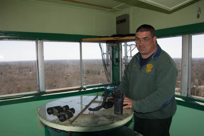
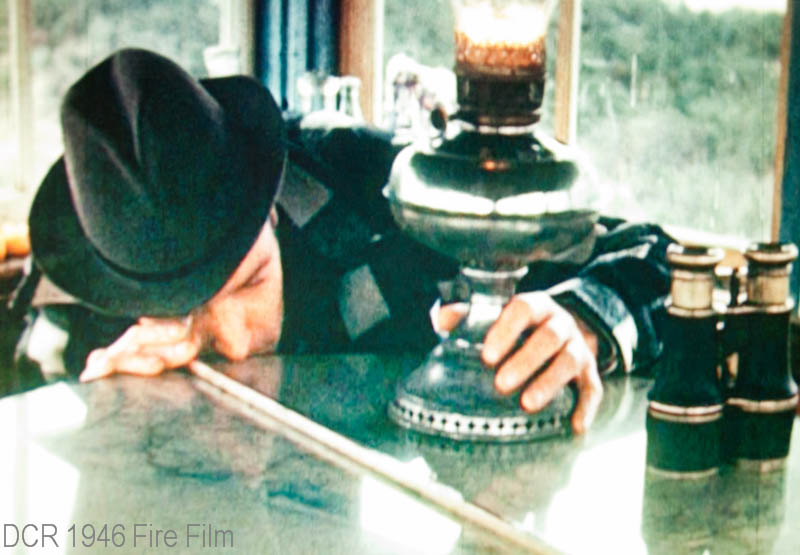
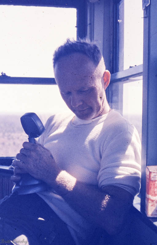
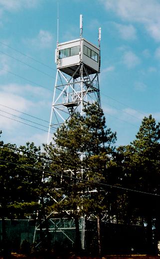
Staffing of the fire towers was done by
men and women who were very skilled at recognizing the difference
between a chimney or contained fire, and a wild fire that was
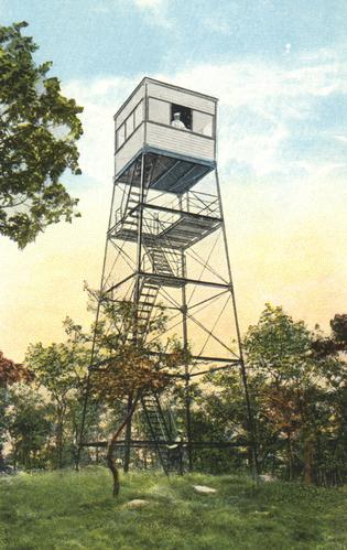
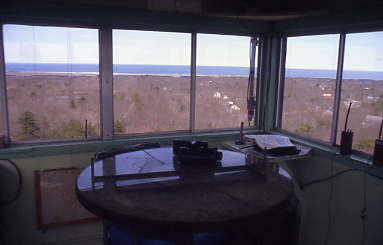
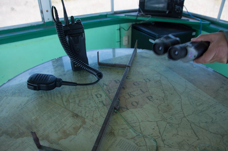
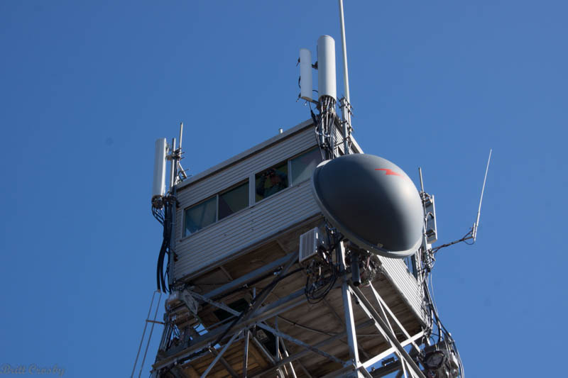
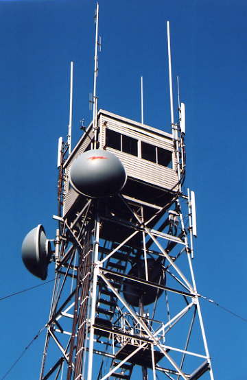
starting. Within the small shelter cab at the top of the tower, the
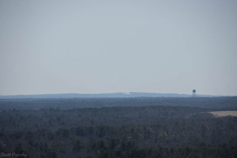
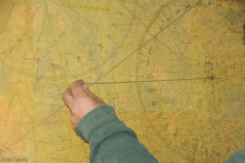
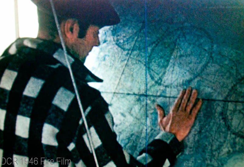
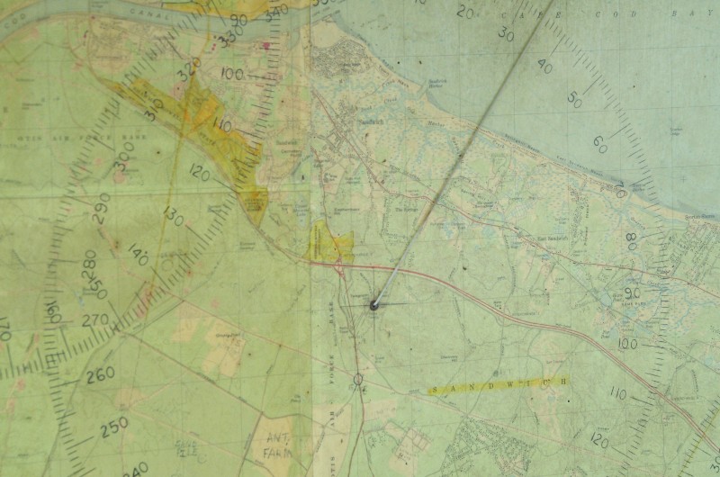
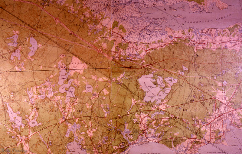
tower operator or spotter, would use binoculars and a map to line up
a smoke based on a compass bearing, and by judging a distance based
on familiar landmarks such as church steeples, water towers, ridges,
or bodies of water. The tower would work with other towers in the
area to try to triangulate the smoke and pinpoint the origin of the
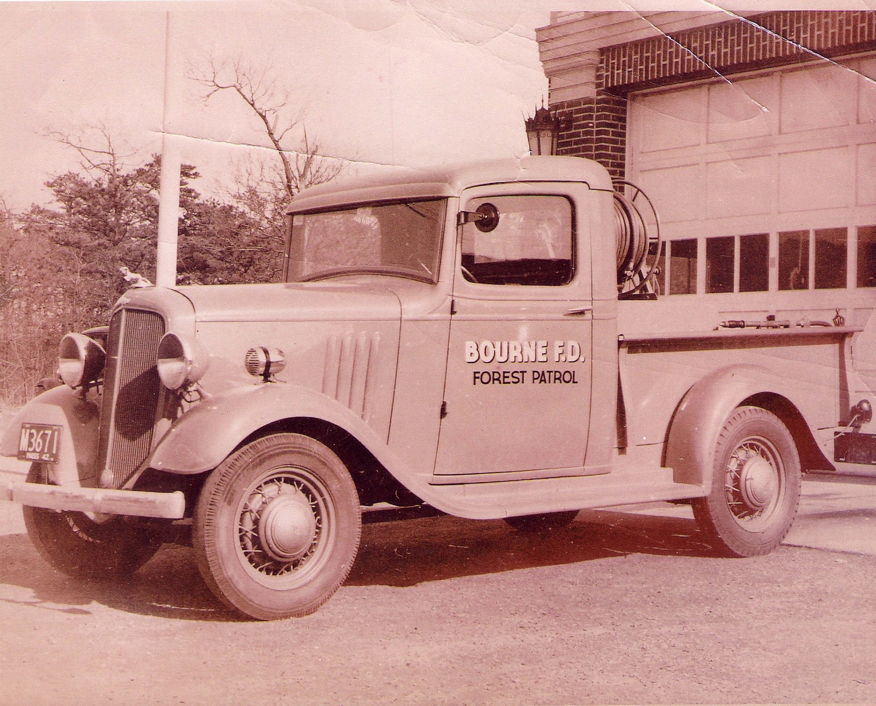
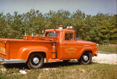
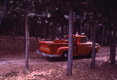
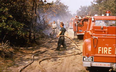
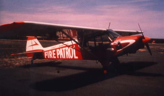
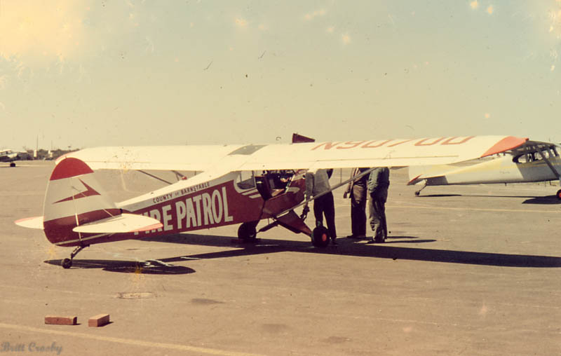
fire. It would then be radioed to patrol trucks or the local fire
department who would respond based on the report from the tower. The
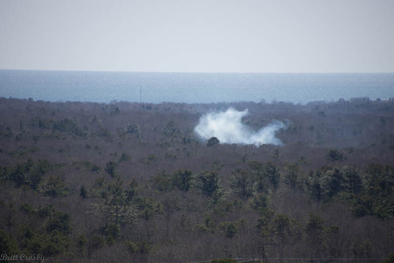
color, volume, and height of the smoke would all be assessed and
reported if the fire started to grow particularly fast or was moving
out in a different direction. Crown fires, flames leaping above
trees, could sometimes be observed indicating a fire that was
rapidly becoming out of control.
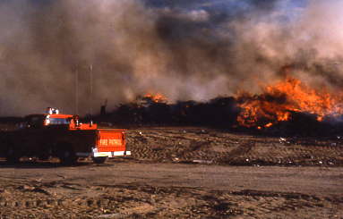
Next to actually preventing a fire from
starting, the fire towers were one of the most valuable tools for
spotting fires in their incipient stage when they might be able to
prevent a large fire from gaining size. It is important to remember
that the ability to observe and report fires that were away from
populated areas was very limited. Telephones were wired in only some
homes or businesses. Radios were not even available in the early
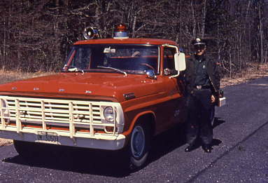
days of towers, and later were usually in towers, fire stations,
patrol trucks, and chief cars. Fires often gained great headway
before the word could get out and equipment could be dispatched.
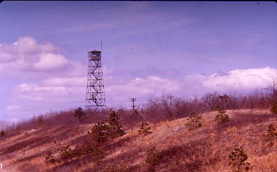
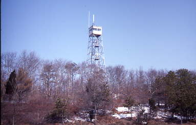
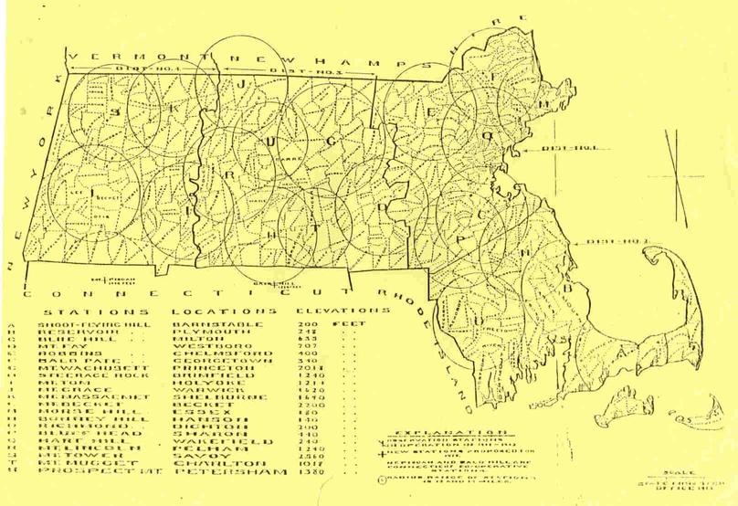
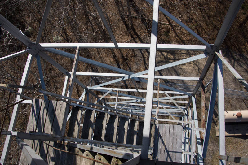
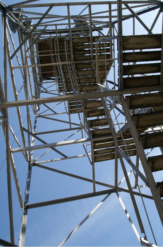
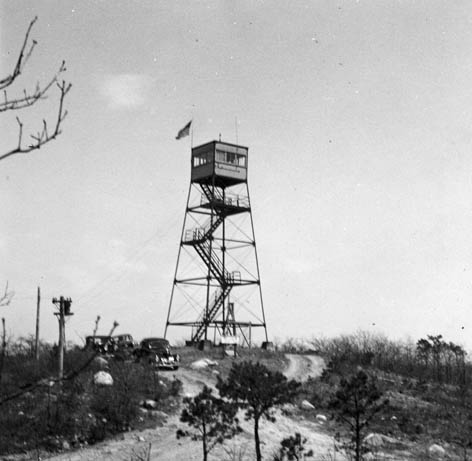
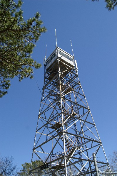
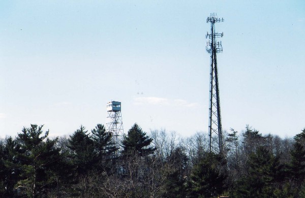
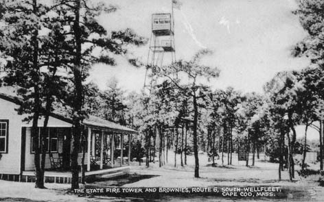
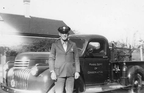
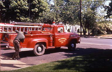
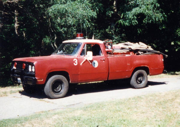
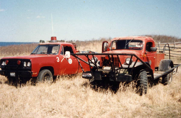
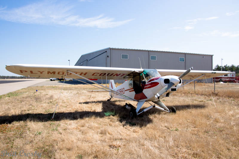
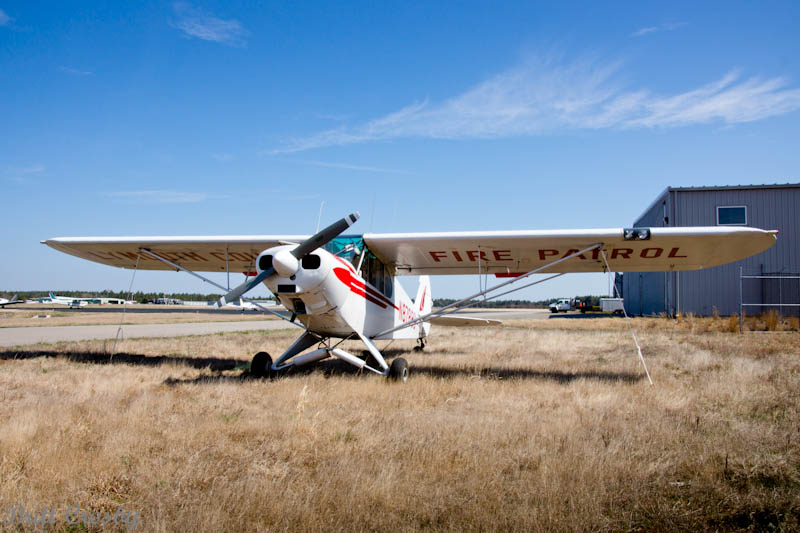
There were, and still are, several fire
towers in the Cape, Islands, and Plymouth area. While the
staffing and use of the fire towers is not what it once was, towers
are still staffed during the fire season to report on fires.
|